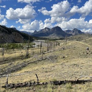
A new Wyoming State Geological Survey (W.S.G.S.) map depicts the geology of one of the state’s most landslide-prone regions. It offers new insights into
Trending News:
Cody Broncs Chase Hatch Signs With Boise State For Football
|
Cody Fillies Swimming And Diving Have All-Time Season
|
The Cody Fillies Basketball Team Begin New Era
|
Cody Broncs Basketball Prepare For New Season In 3A
|
Cody Broncs Football In A Close One
|
Wrap-Up Of The Cody Fillies Volleyball Season
|


