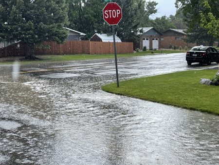
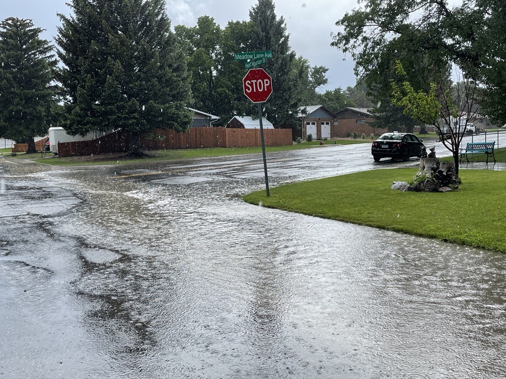
Despite the first day of summer, the Wyoming spring showers came in heavily Wednesday afternoon, causing minor flash flooding in parts Cody, Wyoming.
The National Weather Service has issued the following warning for Northern Wyoming:
“A strong storm system will produce areas of heavy rain for southern Montana and northern Wyoming. The heavy rain will combine with already saturated soils to lead to potential flooding. Portions of Montana, including the following counties, Big Horn, Carbon, Carter, Custer, Fallon, Golden Valley, Musselshell, Park, Powder River, Rosebud, Stillwater, Sweet Grass, Treasure, Wheatland and Yellowstone. Portions of north central Wyoming, including the following county, Sheridan.
Excessive runoff may result in flooding of rivers, creeks, streams, and other low-lying and flood-prone locations. Creeks and streams may rise out of their banks. Extensive street flooding and flooding of creeks and rivers are possible. Rainfall totals of 1-3 inches are possible. This rainfall will combine with already saturated soils and may lead to flooding.”

Photo by Mac Watson
There has also been a “Hazardous Weather Outlook” Warning issued that follows:
“This Hazardous Weather Outlook is for Western and Central Wyoming. Today and tonight: Scattered showers and thunderstorms, mainly East of the Divide.
Thursday and Friday…Scattered afternoon and evening showers and thunderstorms. Strong to possibly severe thunderstorms are possible Friday.
Saturday through Tuesday…Isolated to scattered afternoon thunderstorms, mainly in northern Wyoming. At this point, Sunday looks like the least active day.”
Although the focus of the flash flood warning is for mainly southern Montana, and Sheridan County, Wyoming, Cody has been affected by some flash flooding and it appears the rain is not dissipating anytime soon.
This is a developing story that will be updated once we have more information once available.


